Smart GIS
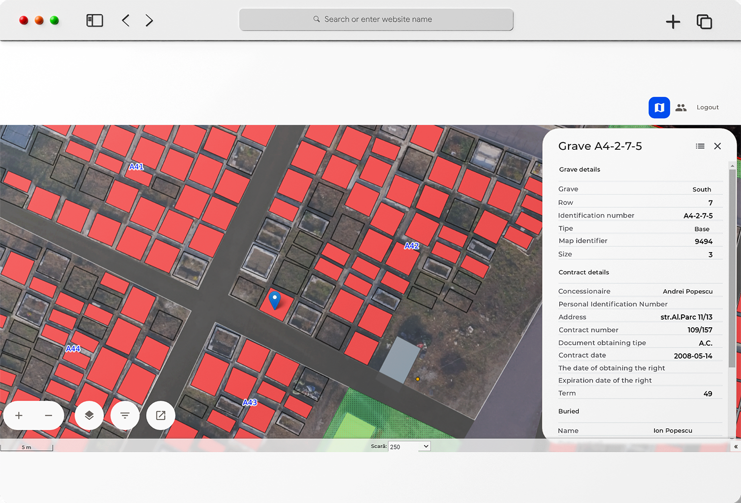
We developed an intelligent geographic information system (GIS) with extended visualization management and analysis functions. For this use case, we applied the system to digitalize cemeteries with pictures taken from drones.

Challenge
We needed to create a digital solution in a field where digitalization is usually lacking, and accurate information is commonly hard to find. To ensure rigorous data, we deployed drones to create virtual maps and correlate those images with cadastral coordinates.
Solution
Through aerial maps, cadastral coordinates, and data from local and regional administrations, we can accurately map the cemeteries with the precise location, dimensions, ownership, space availability, documentation, and more.
Results
Our solution provided a much-needed overview correlating data from documentation, cadastral information, and real-time digital pictures.
Our Smart GIS solution can be adapted to many scenarios and fields, from managing parking spaces and availability to agriculture, where you could map your crop fields and have a complete overview of them.
Other potential applications could be for industrial parks, smart-city solutions tracking the city infrastructure, or construction where you could manage all the construction sites with equipment and the available infrastructure.


